

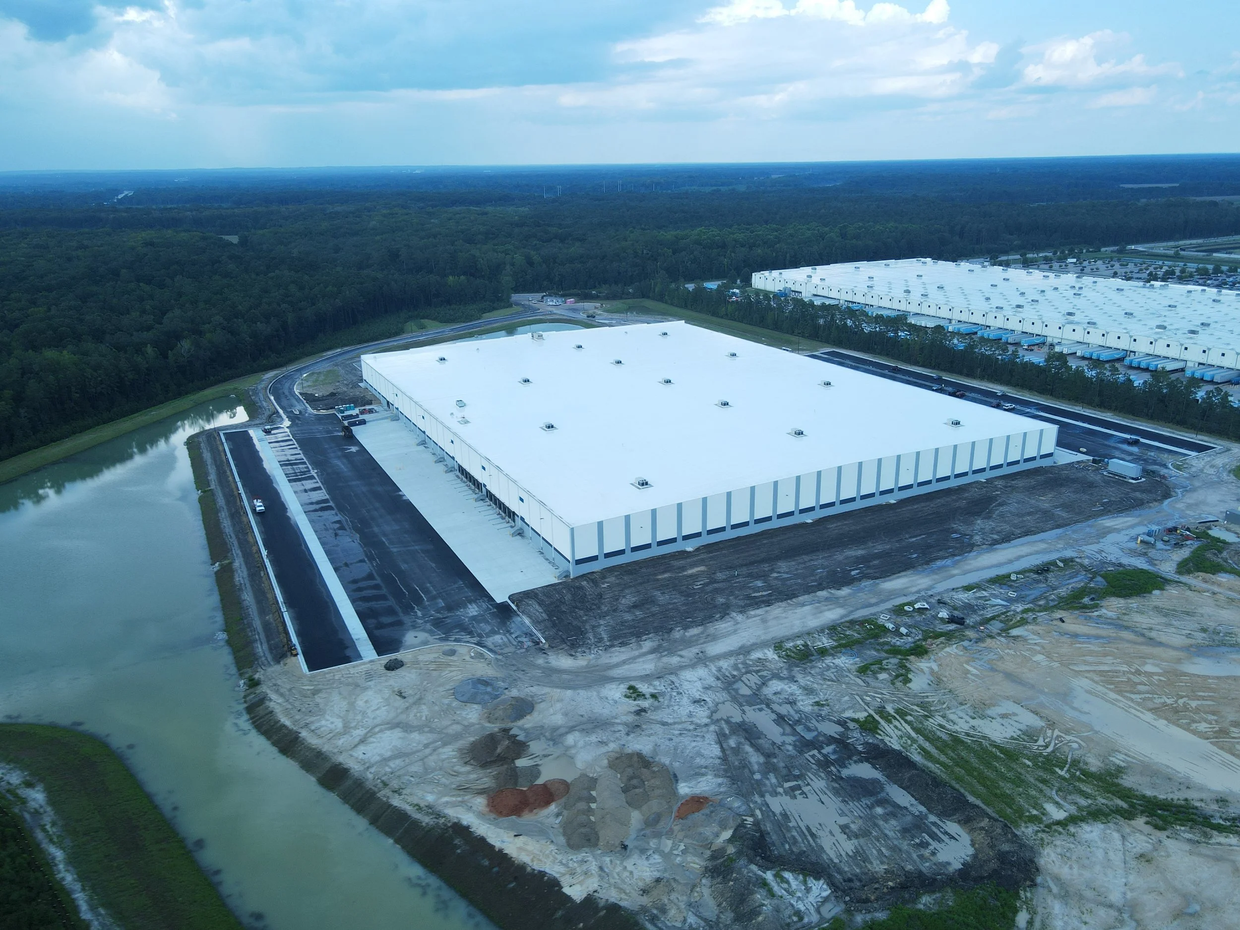
Precision Construction Drone Services & Site Monitoring in South Carolina
Streamline your workflow with survey-grade aerial data, high-resolution orthomosaic mapping, and weekly progress reporting for job sites in Columbia, Charleston, and Greenville.
Stop Walking the Site.
Start Seeing the Data.
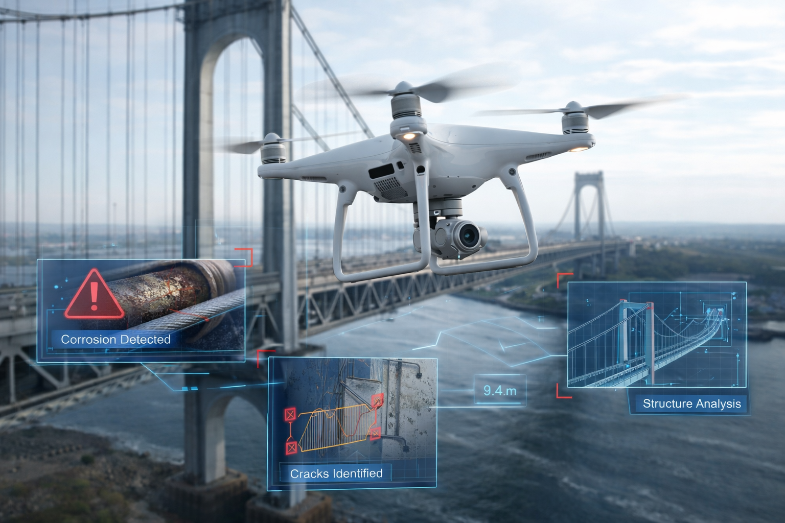
Managing a project in the Lowcountry or Midlands requires constant oversight. Our drone solutions reduce the need for manual inspections at height and provide a centralized, real-time view of your entire project.
Reduce Site Visit Costs: Save thousands in travel and manual surveying hours.
Improve Jobsite Safety: Eliminate the need for personnel to access hazardous or hard-to-reach areas.
Enhance Stakeholder Communication: Share visual updates and interactive 3D models with investors and off-site teams instantly.
Survey-Grade Construction
Deliverables
We don't just send raw photos. We deliver actionable intelligence used by architects, engineers, and superintendents.
Orthomosaic Mapping: Geometrically corrected, high-resolution maps for precise distance and area measurements.
Progress Tracking: Weekly or bi-weekly aerial documentation for side-by-side "as-built vs. plan" comparisons.
Volumetric Analysis: Accurate calculations of material stockpiles (soil, gravel, etc.) to optimize supply chain efficiency.
3D Terrain Modeling: High-detail point clouds and Digital Elevation Models (DEMs) for site preparation and earthwork planning.
South Carolina’s Trusted Partner in Aerial Intelligence
Palmetto Drone Co. is fully FAA Part 107 Certified and Insured, ensuring every mission is compliant with federal and local SC regulations. Whether you are breaking ground on a new commercial development in Charlotte or monitoring a major infrastructure project in Savannah, our pilots deliver consistent, reliable results.