

Advanced Drone Services for Greenville & The South Carolina Upstate
Powering the Upstate’s industrial and manufacturing sectors with survey-grade aerial mapping and cinematic property marketing. From the I-85 corridor to the Blue Ridge foothills, we deliver the data you need to grow.
Specialized Aerial Solutions for a Rapidly Growing Region
Greenville’s unique mix of manufacturing, technology, and residential expansion requires a drone partner who understands the terrain and the tech:
Manufacturing & Industrial Facilities: We provide detailed roof and facade inspections for large-scale plants and warehouses in Greer and Spartanburg, identifying structural issues without operational downtime.
Precision Agriculture Analytics: Support the Upstate’s agricultural heritage with multispectral sensors and NDVI mapping to monitor crop health and irrigation efficiency in the surrounding rural counties.
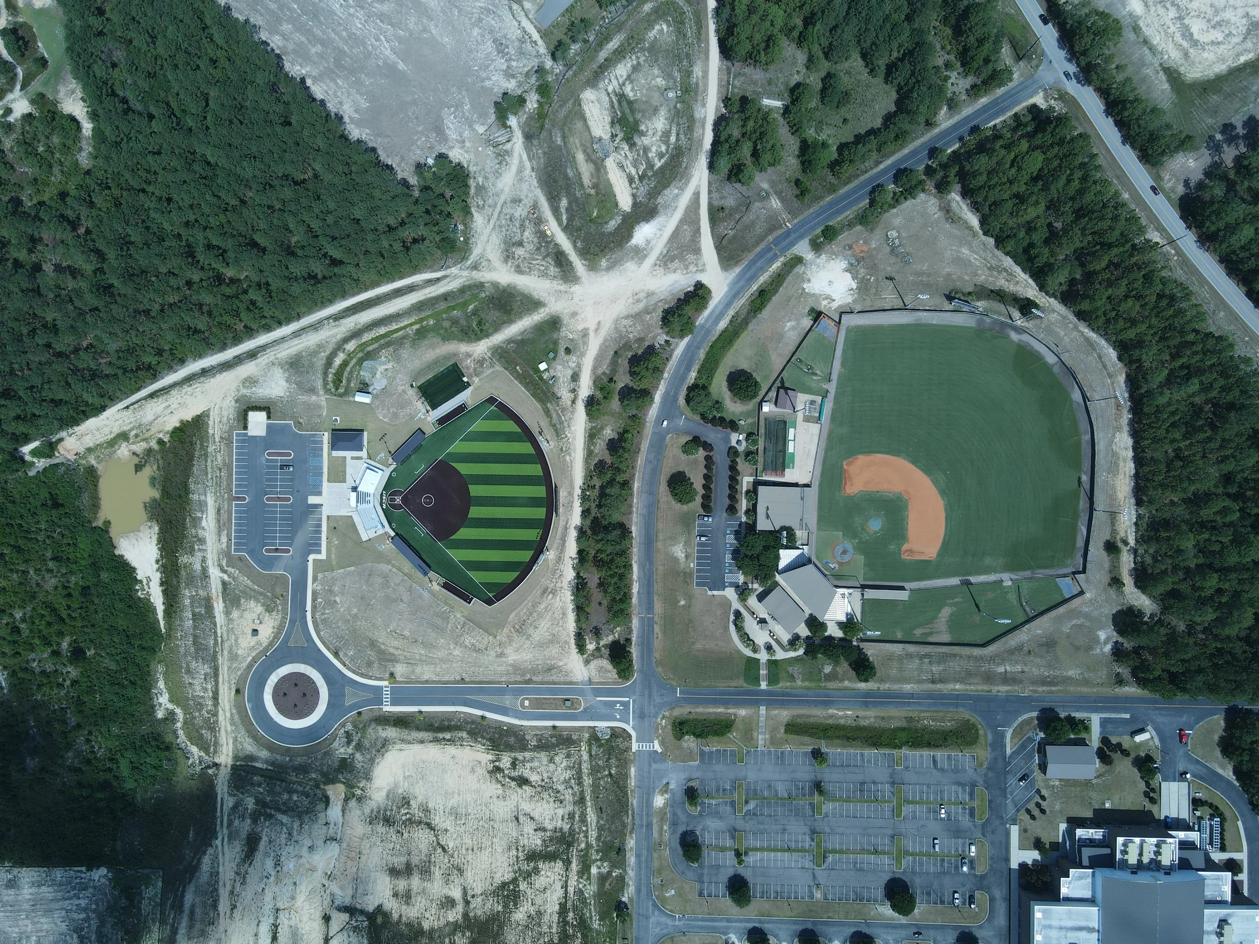
High-End Real Estate & Development: Capture the urban energy of Downtown Greenville and the natural beauty of the foothills for luxury residential listings and commercial developments.
Energy & Infrastructure: Safe, remote inspections of solar farms and utility lines across the Upstate, utilizing high-resolution sensors to detect thermal anomalies.
Comprehensive Coverage Across the Upstate
Our team is strategically positioned to serve the entire I-85 and I-385 corridors:
Greenville & Simpsonville: Commercial retail development and site progress tracking.
Greer & Spartanburg: Industrial inspections and logistics hub documentation.
Anderson & Clemson: University campus marketing and regional infrastructure mapping.
Travelers Rest & Foothills: High-altitude terrain modeling and adventure-focused promo videography.
Navigating Complex Upstate Airspace
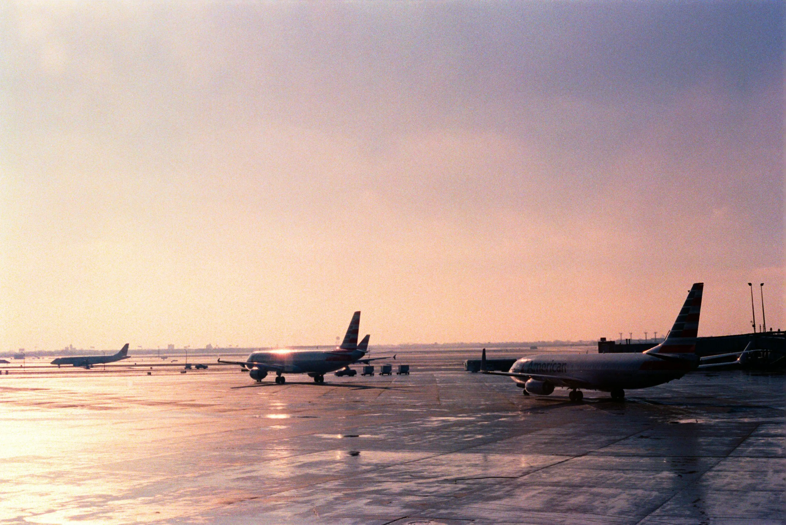
Operating near GSP International, Greenville Downtown (GMU), and Donaldson Field (GYH) requires professional coordination. Palmetto Drone Co. is fully 2026 FAA Remote ID compliant and utilizes automated LAANC authorizations to ensure safe, legal, and uninterrupted operations in Greenville’s overlapping airspace.