

Professional Drone Services in Charleston & The Lowcountry
High-precision aerial data and cinematic 4K visuals for Charleston’s most demanding industries. From the historic Battery to the booming Cainhoy Peninsula, we are your local partner in aerial intelligence.
Navigating the Unique Demands
of the Charleston Market
Charleston isn't just another city—it’s a complex landscape of historic preservation, maritime commerce, and rapid coastal development. We provide specialized solutions tailored to the Lowcountry:
Maritime & Logistics: Capture the scale of operations at the Port of Charleston or track supply chain progress in North Charleston with secure, high-clearance drone flights.
Coastal Real Estate: Showcase luxury estates on Kiawah Island, Sullivan’s Island, and Isle of Palms with stabilized 4K footage that highlights proximity to the water.
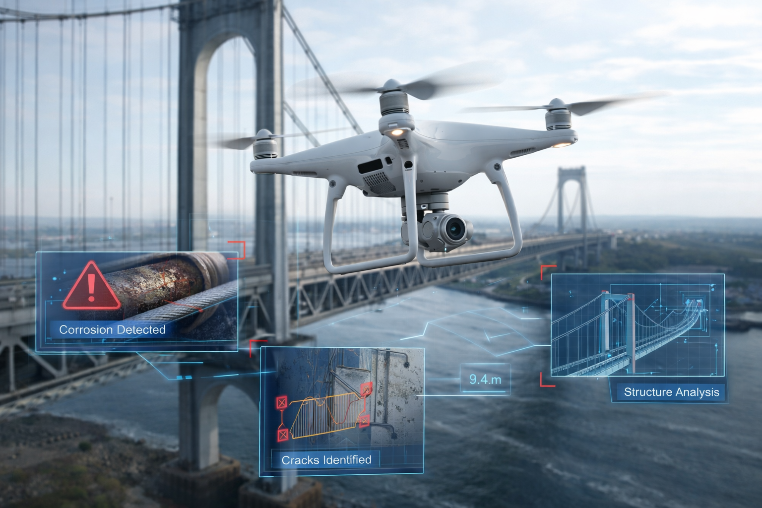
Historic Preservation: Assist architects and conservators in Downtown Charleston with high-resolution facade inspections and 3D modeling of historic structures.
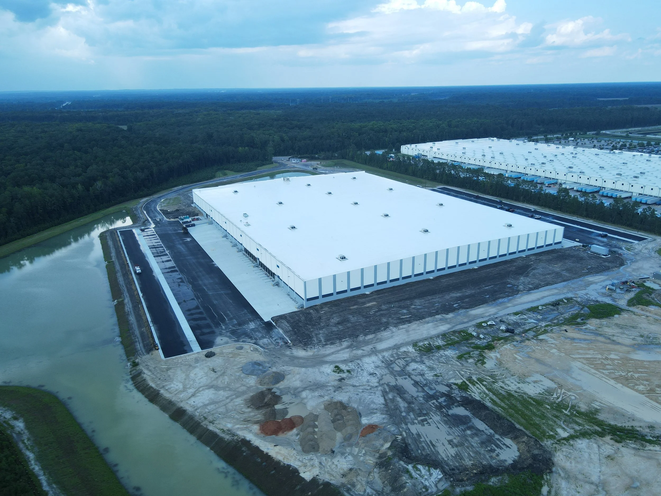
Master-Planned Development: Provide weekly progress monitoring for high-growth areas like Nexton, Point Hope, and West Ashley’s newest revitalizations.
Serving Every Corner of the Lowcountry
We don't just "cover Charleston." We are embedded in the communities that drive the region’s growth:
Mount Pleasant & Daniel Island: Commercial retail mapping and residential marketing.
Summerville & Goose Creek: Large-scale industrial construction and master-planned community documentation.
Johns Island & West Ashley: Agricultural land surveying assistance and residential development tracking.
Expert Airspace Management
With proximity to Joint Base Charleston and the Charleston International Airport (CHS), legal drone operations require expert coordination. Palmetto Drone Co. handles all FAA LAANC authorizations and restricted airspace permissions, ensuring your project is 100% compliant and fully insured.