How Commercial Drones Are Reshaping Data Collection in Construction and Energy
By Kenneth Yamashiro | Palmetto Drone Co.
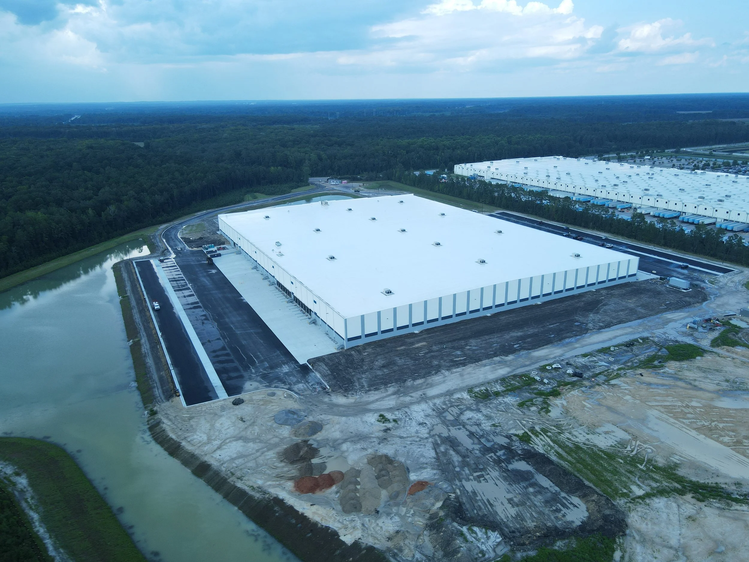
Over the past few years, commercial drone technology has quietly transformed how industries capture, analyze, and act on data. In sectors like construction and energy, unmanned aerial systems (UAS) are no longer viewed as optional tools—they are becoming core infrastructure.
Modern drones equipped with high-resolution sensors, RTK positioning, and automated flight planning allow teams to collect accurate site data in minutes rather than days. This shift is especially impactful in environments where access, safety, or scale previously limited visibility.
In construction, drones are now being used to generate orthomosaic maps, volumetric measurements, and progress documentation without interrupting active job sites. These datasets integrate directly into project management platforms, allowing stakeholders to track progress, identify delays, and reduce rework earlier in the lifecycle.
In the energy sector, aerial data collection plays a critical role in infrastructure inspection and maintenance. Solar arrays, transmission lines, and utility assets can be surveyed efficiently without shutting down operations. Thermal imaging, in particular, has become a powerful diagnostic tool for identifying performance issues that would otherwise go unnoticed.
What’s driving this adoption is not just hardware innovation, but software maturity. Automated workflows, cloud-based processing, and AI-assisted analysis are turning raw aerial imagery into actionable intelligence.
As drone platforms continue to advance, the gap between data collection and decision-making will continue to shrink—unlocking safer, faster, and more informed operations across industries.